
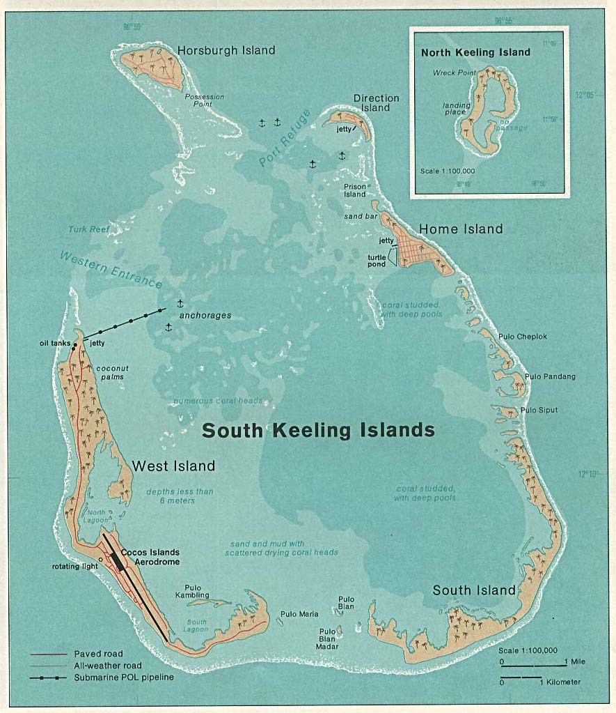
A coral formation hidden along the outer reef of Australia’s remote Cocos (Keeling) Islands has emerged as a genuine marine giant: researchers have mapped a rose coral colony stretching 1.56 kilometers, or roughly 0.97 miles. That makes it about the length of 100 buses and places it among the largest coral colonies ever recorded.
The formation belongs to the genus Pachyseris and occupies a steep section of reef between 14 and 65 meters below the surface. Its main body averages 36.5 meters wide and covers approximately 56,940 square meters—more than three Melbourne Cricket Ground playing areas. Researchers also found stretches continuing another 200 to 300 meters beyond the mapped core, suggesting the structure may be even more extensive than the headline measurement.
Lead researcher Jean-Paul Adrian Hobbs of Adelaide University worked with scientists from the Queensland Museum and James Cook University to chart the reef. The mapping required 12 dives and months of work; Hobbs used positioning equipment to mark his route between dives, sometimes reaching the end of his available air before he could determine where the colony stopped. Independent coverage of the Queensland Museum statement confirms the measurements and the research team’s involvement.
The discovery also revisits an observation made decades ago. Local dive operator Dieter Gerhard noticed broad fields of the coral more than 30 years ago, but only detailed mapping revealed that the scattered-looking sections could be linked into a single enormous formation. The Cocos (Keeling) Islands sit about 2,900 kilometers northwest of Perth and consist largely of coral atolls, making the archipelago an important natural laboratory for studying isolated reef ecosystems.
There is still a major biological question behind the impressive numbers: is this truly one organism, or did several colonies grow together and fuse over time? Researchers are now using genetic testing to find out. That distinction matters because a confirmed single colony would offer a rare look at how an individual coral can persist and expand across such a large area, while a fused formation could reveal how neighboring colonies cooperate—or simply withstand the same conditions—over decades.
The work forms part of broader efforts to document biodiversity in the Cocos (Keeling) Islands Marine Park, whose remote reefs remain less thoroughly surveyed than better-known Australian coral systems. The newly mapped colony provides a valuable baseline for future monitoring, particularly as scientists track coral disease, environmental stress and the resilience of isolated reefs.
Image Credits
In-Article Image Credits
Map of Cocos (Keeling) Islands in the Indian Ocean via Perry-Castaneda Library. By Taken from Perry-Castañeda Library (PCL), originally from CIA Indian Ocean Atlas - http://www.lib.utexas.edu/maps/islands_oceans_poles/cocos(keeling)_76.jpg, Public Domain, https://commons.wikimedia.org/w/index.php?curid=1248953Featured Image Credit
Map of Cocos (Keeling) Islands in the Indian Ocean via Perry-Castaneda Library. By Taken from Perry-Castañeda Library (PCL), originally from CIA Indian Ocean Atlas - http://www.lib.utexas.edu/maps/islands_oceans_poles/cocos(keeling)_76.jpg, Public Domain, https://commons.wikimedia.org/w/index.php?curid=1248953


